Explore Our Project Portfolio
At Marine and Terrestrial Consulting, LLC, we take pride in our diverse portfolio of environmental projects aimed at addressing a wide range of challenges. Our team of experts is committed to delivering innovative solutions that meet the unique needs of each project. Explore some of our notable projects.
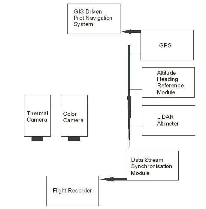
Airborne Multispectral Imaging System Development
We have spearheaded the development of advanced airborne multispectral imaging systems, facilitating detailed analysis of environmental landscapes and ecosystems with unparalleled precision.
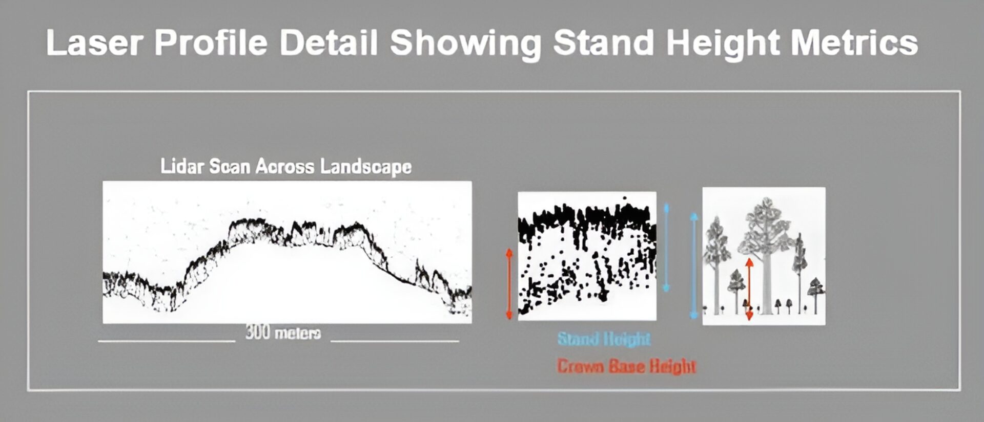
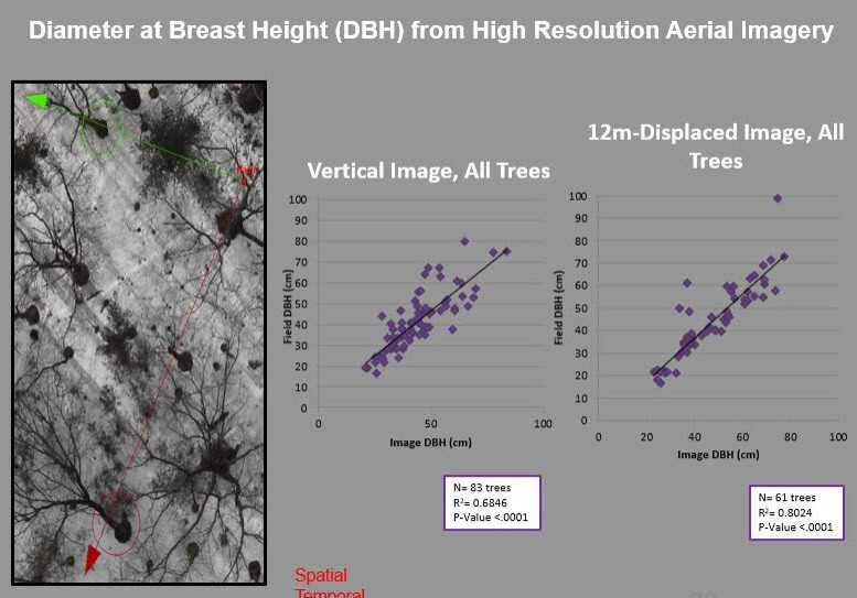
Forest Stand Mapping and Metrics
Through comprehensive forest stand mapping and metrics analysis, we provide valuable insights into forest structure, composition, and health to support sustainable forestry management practices.
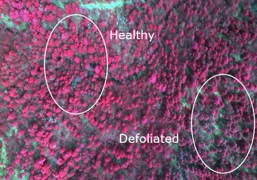
Forest Pest Investigations
Our team conducts in-depth investigations into forest pests such as the Gypsy moth, Asian long-horned beetle, and Hemlock woolly adelgid, providing crucial data for pest management and conservation strategies.
Wetland Mapping and Classification
Our wetland mapping and classification projects provide valuable information for wetland conservation and management efforts, ensuring the protection of these vital ecosystems.
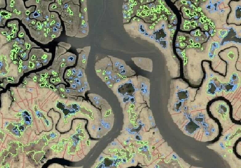
Saltmarsh Vegetation Modeling
Through saltmarsh vegetation modeling, we contribute to the understanding of coastal ecosystem dynamics and support conservation efforts aimed at preserving these valuable habitats.
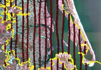
Harbor Management Plan Support
We provide support for harbor management plans through comprehensive data analysis and spatial planning, ensuring sustainable use of coastal resources and infrastructure.
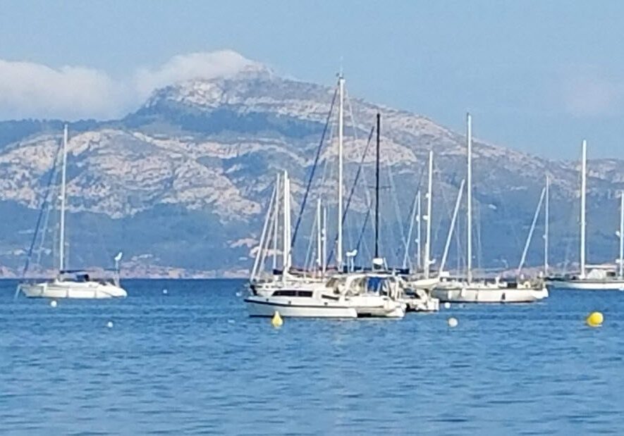
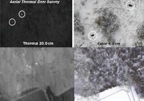
Aerial Wildlife Surveys
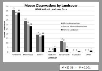
We conduct aerial wildlife surveys for species including white-tailed deer, moose, caribou, and American pika, providing valuable data for wildlife management and conservation initiatives.
Wildlife Habitat Assessments
Our wildlife habitat assessments help inform land management decisions and conservation planning by identifying key habitat areas and assessing their suitability for wildlife species.
Powerline Transmission Corridor Management
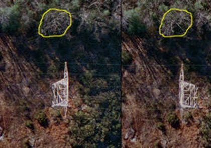
Our expertise in landscape and utility asset data development supports effective management of powerline transmission corridors, minimizing environmental impacts and maximizing efficiency.
Connect With Us
At Marine and Terrestrial Consulting, LLC, we are dedicated to delivering exceptional results in every project we undertake. Contact us to learn more about how our expertise can support your environmental goals and ecological initiatives.
